Impact Stories

Affordable Decision-Support Tools: Building Resilience in Hazard-Prone Communities

27 February 2025
Dr Dextor S. Lo Sharing the Project Overview and CDO Risk Profile
Dr Dina D’Ayala, University College of London (UCL) and a Workshop Participant Engaging in Discussion

In December 2011, Typhoon Sendong (internationally known as Washi) struck Cagayan de Oro, Philippines, causing devastating flash floods that claimed over 1,200 lives and displaced tens of thousands. The disaster underscored the vulnerability of communities in hazard-prone regions, where limited resources and infrastructure significantly hinder disaster preparedness. With the Philippines frequently exposed to typhoons, earthquakes, and floods, such tragedies highlight the urgent need for accessible and affordable solutions to mitigate risks.

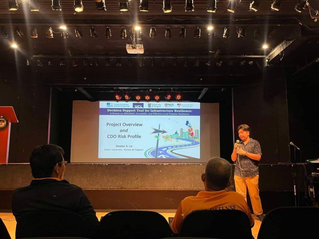
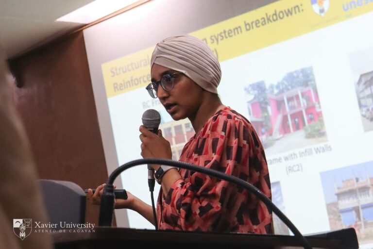
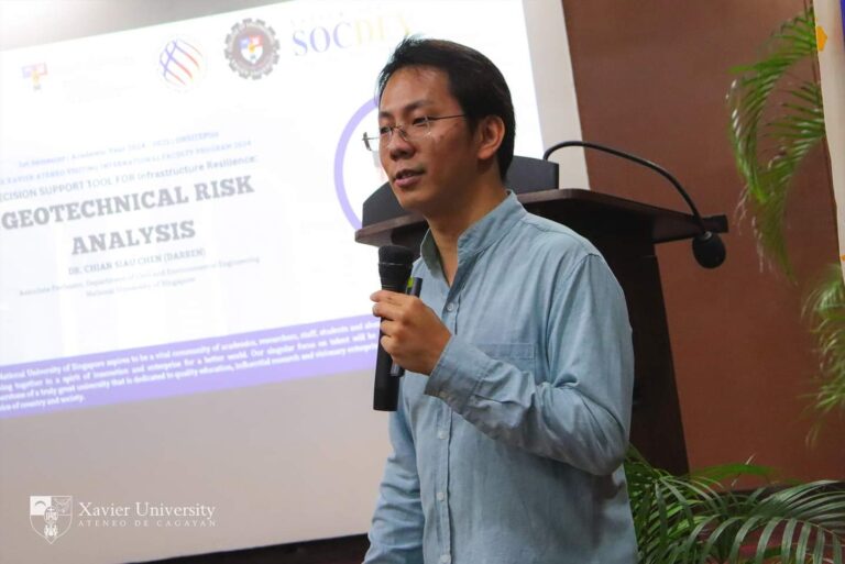
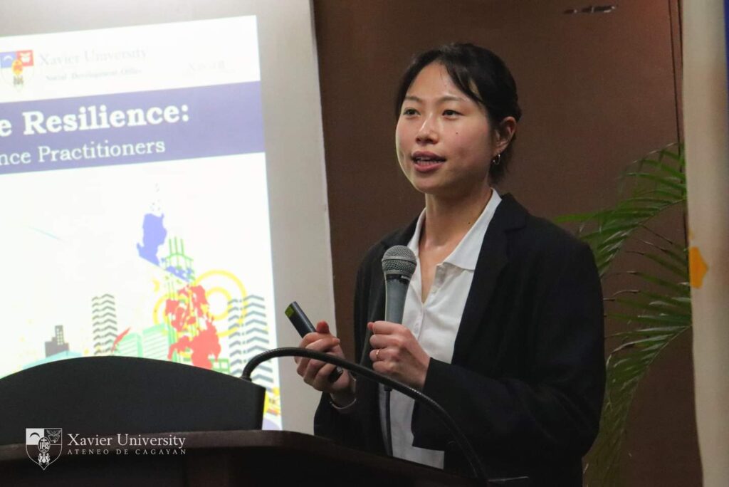
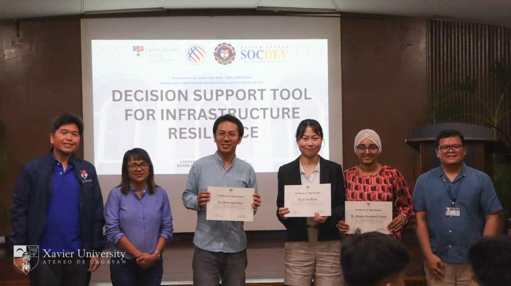
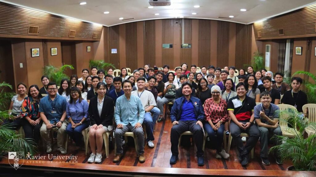
In an effort to address these challenges, Dr Darren Chian, from the Department of Civil and Environmental Engineering at the National University of Singapore (NUS) led a project titled “Affordable and Accessible Decision-Support Tool Against Hazard Risks for Local Communities in Developing Countries”. Funded by IPUR, this initiative brought together expertise from Dr Byun Ji-Eun at the University of Glasgow, Dr Ahsana Parammal Vatteri and Dr Dina D’Ayala at University College London (UCL), and Assistant Prof Dexter S. Lo at Xavier University. Their shared goal was to equip local communities with practical, cost-effective, and user-friendly tools to assess and mitigate disaster risks independently. The project focused on overcoming two key challenges: the affordability of risk mitigation measures and the need for decision-making independence in resource-constrained environments.

A Collaborative and Tailored Solution

The decision-support tool integrates hazard models, advanced reliability methods, and local data to provide actionable insights. Designed to be user-friendly, it ensures accessibility for individuals with limited technical expertise by focusing on affordable solutions. By helping users identify building typologies, assess vulnerabilities, and customise evaluations based on local construction types and terminology, the tool supports community-driven disaster risk management. Efforts are also underway to convert it into a mobile application to enhance accessibility for users in remote locations.

The tool combines hazard models from NUS, infrastructure and transport system modelling from UCL, reliability assessment techniques from the University of Glasgow, and localised insights from Xavier University. The collaboration between the universities ensured a balanced approach, blending research with community-specific knowledge to address globally relevant challenges while remaining practical for local applications. By equipping communities with data-driven analysis capabilities, the tool aims to support decision-makers to develop targeted risk reduction strategies tailored to their unique vulnerabilities.

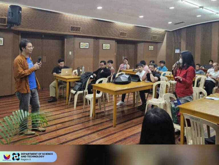
A critical aspect of the tool’s development was incorporating local knowledge and practitioner insights. Community engagement played a key role in refining its features, ensuring alignment with real-world challenges. Workshops and field assessments helped validate its effectiveness in identifying infrastructure vulnerabilities, demonstrating its potential to support disaster preparedness efforts.

Dr. Ahsana Parammal Vatteri, University College of London (UCL)
Dr Dina D’Ayala, University College of London (UCL)
Dr Byun Ji-Eun, the University of Glasgow

Workshops to bridge theory and practice

In September 2024, the project team conducted a week-long training workshop in Cagayan de Oro, Philippines. Hosted by Xavier University, the workshop gathered government officials, resilience practitioners, engineers, and students from the university’s College of Engineering. Designed to balance theory with hands-on learning, the sessions provided participants with a comprehensive understanding of hazard risk assessment and practical tools for disaster preparedness.

The workshop featured lectures on system-level risk assessment, focusing on infrastructure resilience and the impact of disasters on transportation networks. Participants were trained in Python-based digital tools to conduct quantitative risk assessments, enhancing their ability to model disaster scenarios. Fieldwork further reinforced these concepts, with groups conducting on-site surveys of schools and bridges to evaluate structural vulnerabilities. This combination of theoretical and practical learning helped participants develop technical skills while emphasising the importance of risk-based decision-making in disaster response planning.

Receiving of Certificates of Appreciation
Group Photo of Workshop Participants

Enhancing Community Engagement and Understanding

A key focus of the workshop was improving risk perception and communication. Effective disaster preparedness requires not only technical knowledge but also the ability to convey risk information in a way that resonates with communities, policymakers, and first responders. Workshop discussions explored how risk data could be translated into actionable strategies, ensuring that hazard information is accessible and relevant to local stakeholders.

Participants also completed surveys on their perceptions of disaster risks and trust in authorities, providing valuable insights into community attitudes toward preparedness. These findings helped to refine the decision-support tool to better address the needs and concerns of local communities. Hands-on activities, such as infrastructure vulnerability assessments, allowed participants to apply their knowledge in real-world settings, reinforcing the importance of proactive disaster risk management.

Outcomes and Early Impacts

The workshops demonstrated the tool’s practical value in strengthening disaster resilience. Participants successfully developed skills in data-driven risk assessment, infrastructure surveying, and collaborative disaster preparedness. These experiences equipped them with the ability to independently assess risks and propose mitigation strategies, which fosters a culture of proactive resilience-building.

The project also facilitated dialogue among local stakeholders, highlighting the importance of multi-sector collaboration in disaster risk management. By bringing together government agencies, engineers and community leaders, the initiative fostered a shared understanding of disaster risks and the role of data-driven decision-making in reducing vulnerabilities.

Hands-On Activities: Infrastructure Vulnerability Assessments

Future Directions

Looking ahead, the project team aims to expand the tool’s capabilities to support post-earthquake damage assessments, enhancing its application in different disaster scenarios. Another key development is the integration of wireless remote sensing technology to assess risks in hard-to-reach areas, further broadening its potential impact. Future refinements will also focus on improving risk communication strategies, ensuring that hazard data is accessible to decision-makers at both the community and government levels.

As the tool continues to evolve, its role in supporting local stakeholders, enhancing risk perception, and improving disaster preparedness will contribute to long-term resilience efforts. By combining research with local expertise, the project represents a significant step forward in strengthening disaster risk management for communities in hazard-prone regions.